
Waddepalle topographic map
Interactive map
Click on the map to display elevation.
About this map
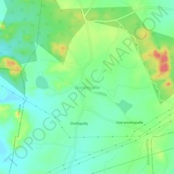
Name: Waddepalle topographic map, elevation, terrain.
Location: Waddepalle, Raipole mandal, Siddipet, Telangana, India (17.85872 78.55750 17.89872 78.59750)
Average elevation: 1,916 ft
Minimum elevation: 1,837 ft
Maximum elevation: 2,077 ft
Other topographic maps
Click on a map to view its topography, its elevation and its terrain.
Waddepalle
India > Telangana > Waddepalle
Waddepalle, Waddepally mandal, Jogulamba Gadwal, Telangana, India
Average elevation: 1,001 ft