
Waxhaw topographic map
Interactive map
Click on the map to display elevation.
About this map
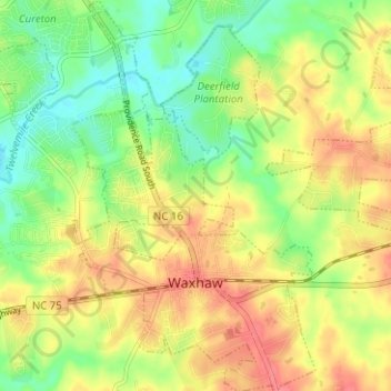
Name: Waxhaw topographic map, elevation, terrain.
Location: Waxhaw, Union County, North Carolina, United States (34.91051 -80.77726 34.96200 -80.72471)
Average elevation: 594 ft
Minimum elevation: 495 ft
Maximum elevation: 689 ft