
Fairfax topographic map
Interactive map
Click on the map to display elevation.
About this map
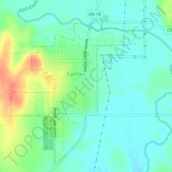
Name: Fairfax topographic map, elevation, terrain.
Location: Fairfax, Osage County, Oklahoma, United States of America (36.55732 -96.71895 36.58159 -96.69438)
Average elevation: 850 ft
Minimum elevation: 797 ft
Maximum elevation: 974 ft