
Ranu Kumbolo topographic map
Interactive map
Click on the map to display elevation.
About this map
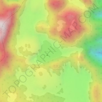
Name: Ranu Kumbolo topographic map, elevation, terrain.
Location: Ranu Kumbolo, Lumajang, East Java, Indonesia (-8.05209 112.91767 -8.04618 112.92447)
Average elevation: 8,100 ft
Minimum elevation: 6,778 ft
Maximum elevation: 9,183 ft
Other topographic maps
Click on a map to view its topography, its elevation and its terrain.
Mount Semeru
Indonesia > East Java > Lumajang
Mount Semeru, Lumajang, East Java, Indonesia
Average elevation: 10,180 ft