
Benculuk topographic map
Interactive map
Click on the map to display elevation.
About this map
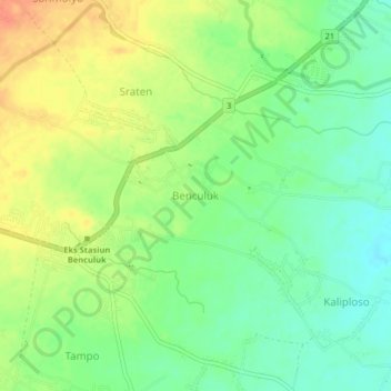
Name: Benculuk topographic map, elevation, terrain.
Location: Benculuk, East Java, 68482, Indonesia (-8.44891 114.21858 -8.40891 114.25858)
Average elevation: 226 ft
Minimum elevation: 157 ft
Maximum elevation: 305 ft