
Batur topographic map
Interactive map
Click on the map to display elevation.
About this map
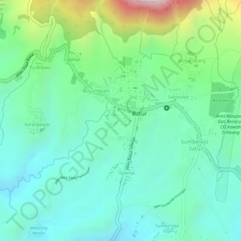
Name: Batur topographic map, elevation, terrain.
Location: Batur, Banjarnegara, Central Java, Indonesia (-7.21597 109.82180 -7.20067 109.83147)
Average elevation: 5,371 ft
Minimum elevation: 4,872 ft
Maximum elevation: 6,614 ft