
Berrydale topographic map
Interactive map
Click on the map to display elevation.
About this map
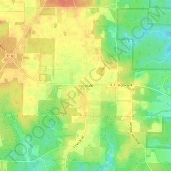
Name: Berrydale topographic map, elevation, terrain.
Location: Berrydale, Santa Rosa County, Florida, United States (30.87935 -87.03385 30.91935 -86.99385)
Average elevation: 230 ft
Minimum elevation: 148 ft
Maximum elevation: 292 ft