
Villas topographic map
Interactive map
Click on the map to display elevation.
About this map
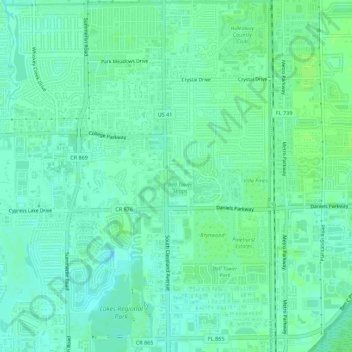
Name: Villas topographic map, elevation, terrain.
Location: Villas, Lee County, Florida, United States (26.52601 -81.88663 26.57566 -81.85429)
Average elevation: 16 ft
Minimum elevation: 0 ft
Maximum elevation: 33 ft