
Tara Lakes topographic map
Interactive map
Click on the map to display elevation.
About this map
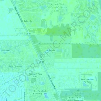
Name: Tara Lakes topographic map, elevation, terrain.
Location: Tara Lakes, Lee County, Florida, United States (26.72918 -81.93346 26.76918 -81.89346)
Average elevation: 26 ft
Minimum elevation: 13 ft
Maximum elevation: 36 ft