
Punta Rassa topographic map
Interactive map
Click on the map to display elevation.
About this map
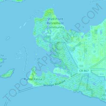
Name: Punta Rassa topographic map, elevation, terrain.
Location: Punta Rassa, Lee County, Florida, 33902, United States (26.47423 -82.03153 26.53008 -81.98205)
Average elevation: 3 ft
Minimum elevation: -3 ft
Maximum elevation: 36 ft