
Bray topographic map
Interactive map
Click on the map to display elevation.
About this map
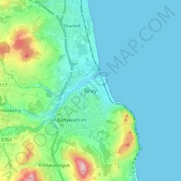
Name: Bray topographic map, elevation, terrain.
Location: Bray, County Wicklow, Leinster, A98 T9D9, Ireland (53.16146 -6.15050 53.24146 -6.07050)
Average elevation: 190 ft
Minimum elevation: 0 ft
Maximum elevation: 1,086 ft