
Culbreth topographic map
Interactive map
Click on the map to display elevation.
About this map
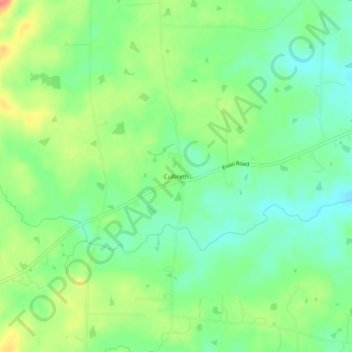
Name: Culbreth topographic map, elevation, terrain.
Location: Culbreth, Granville County, North Carolina, United States (36.24376 -78.74750 36.28376 -78.70750)
Average elevation: 482 ft
Minimum elevation: 394 ft
Maximum elevation: 627 ft