
Hillsborough topographic map
Interactive map
Click on the map to display elevation.
About this map
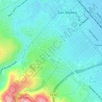
Name: Hillsborough topographic map, elevation, terrain.
Location: Hillsborough, San Mateo County, California, USA (37.55268 -122.33079 37.55280 -122.33063)
Average elevation: 128 ft
Minimum elevation: 7 ft
Maximum elevation: 554 ft