
Jackson topographic map
Interactive map
Click on the map to display elevation.
About this map
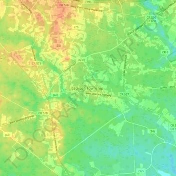
Name: Jackson topographic map, elevation, terrain.
Location: Jackson, Ocean County, New Jersey, United States of America (40.07518 -74.40478 40.15518 -74.32478)
Average elevation: 125 ft
Minimum elevation: 66 ft
Maximum elevation: 194 ft