
Killingworth topographic map
Interactive map
Click on the map to display elevation.
About this map
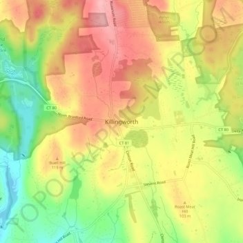
Name: Killingworth topographic map, elevation, terrain.
Location: Killingworth, Middlesex County, Connecticut, 06419-1435, USA (41.33815 -72.58370 41.37815 -72.54370)
Average elevation: 322 ft
Minimum elevation: 89 ft
Maximum elevation: 505 ft