
Glastonbury topographic map
Interactive map
Click on the map to display elevation.
About this map
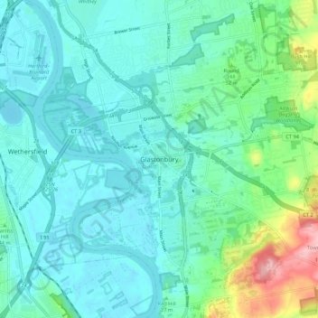
Name: Glastonbury topographic map, elevation, terrain.
Location: Glastonbury, Hartford County, Connecticut, 06118, USA (41.67232 -72.64815 41.75232 -72.56815)
Average elevation: 102 ft
Minimum elevation: -7 ft
Maximum elevation: 531 ft