
La Garita topographic map
Interactive map
Click on the map to display elevation.
About this map
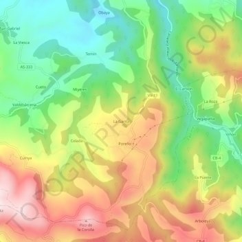
Name: La Garita topographic map, elevation, terrain.
Location: La Garita, Asturias, 33310, Spain (43.40944 -5.46926 43.44944 -5.42926)
Average elevation: 958 ft
Minimum elevation: 220 ft
Maximum elevation: 1,841 ft