
Isla Grosa topographic map
Interactive map
Click on the map to display elevation.
About this map
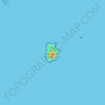
Name: Isla Grosa topographic map, elevation, terrain.
Average elevation: 0 ft
Minimum elevation: 0 ft
Maximum elevation: 246 ft
Other topographic maps
Click on a map to view its topography, its elevation and its terrain.
Isla Perdiguera
España > Murcia > San Javier
Isla Perdiguera, San Javier, Campo de Cartagena, Murcia, 30368, España
Average elevation: 157 ft