
Wee Thump Joshua Tree Wilderness Area topographic map
Interactive map
Click on the map to display elevation.
About this map
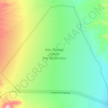
Name: Wee Thump Joshua Tree Wilderness Area topographic map, elevation, terrain.
Average elevation: 4,580 ft
Minimum elevation: 4,134 ft
Maximum elevation: 5,443 ft