
Meilegem topographic map
Interactive map
Click on the map to display elevation.
About this map
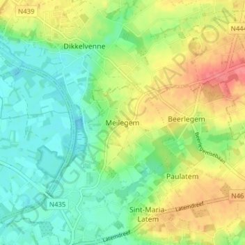
Name: Meilegem topographic map, elevation, terrain.
Location: Meilegem, Oudenaarde, Oost-Vlaanderen, Vlaanderen, 9636, België (50.88519 3.67929 50.92519 3.71929)
Average elevation: 92 ft
Minimum elevation: 10 ft
Maximum elevation: 207 ft