
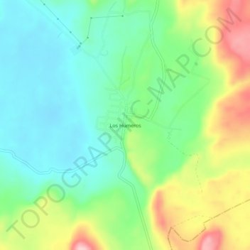
Los Humeros topographic map
Interactive map
Click on the map to display elevation.
About this map
Name: Los Humeros topographic map, elevation, terrain.
Location: Los Humeros, Chignautla, Puebla, Mexico (19.65917 -97.47583 19.69917 -97.43583)
Average elevation: 9,242 ft
Minimum elevation: 9,003 ft
Maximum elevation: 9,708 ft