
Thonotosassa topographic map
Interactive map
Click on the map to display elevation.
About this map
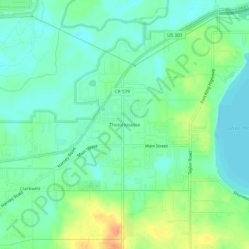
Name: Thonotosassa topographic map, elevation, terrain.
Location: Thonotosassa, Hillsborough County, Florida, 33592, USA (28.04141 -82.32231 28.08141 -82.28231)
Average elevation: 66 ft
Minimum elevation: 20 ft
Maximum elevation: 151 ft