
Kandla topographic map
Interactive map
Click on the map to display elevation.
About this map
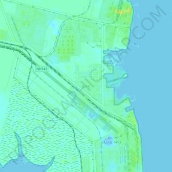
Name: Kandla topographic map, elevation, terrain.
Location: Kandla, Kachchh, Kutch District, Gujarat, 370200, India (22.99775 70.18962 23.03775 70.22962)
Average elevation: 13 ft
Minimum elevation: -10 ft
Maximum elevation: 56 ft