Cerro Chirripó topographic map
Interactive map
Click on the map to display elevation.
About this map
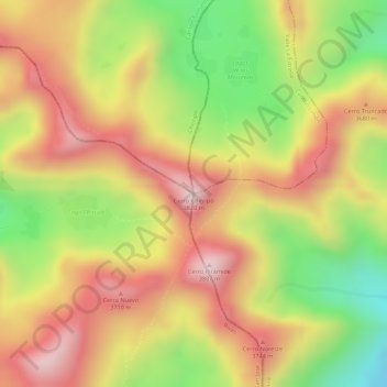
Name: Cerro Chirripó topographic map, elevation, terrain.
Average elevation: 11,808 ft
Minimum elevation: 10,951 ft
Maximum elevation: 12,448 ft

Click on the map to display elevation.
Name: Cerro Chirripó topographic map, elevation, terrain.
Average elevation: 11,808 ft
Minimum elevation: 10,951 ft
Maximum elevation: 12,448 ft