
Prof. Dr. Raci Bademli Parkı topographic map
Interactive map
Click on the map to display elevation.
About this map
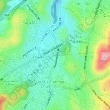
Name: Prof. Dr. Raci Bademli Parkı topographic map, elevation, terrain.
Average elevation: 2,995 ft
Minimum elevation: 2,828 ft
Maximum elevation: 3,376 ft