
Gatineau River topographic map
Interactive map
Click on the map to display elevation.
About this map
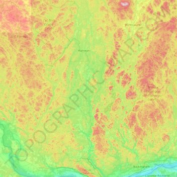
Name: Gatineau River topographic map, elevation, terrain.
Location: Gatineau River, Outaouais, Quebec, Canada (45.51248 -76.05632 46.71754 -75.77034)
Average elevation: 830 ft
Minimum elevation: 125 ft
Maximum elevation: 2,448 ft