
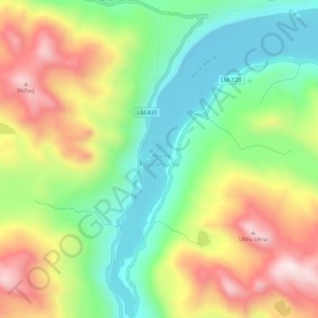
Laguna Paucarcocha topographic map
Interactive map
Click on the map to display elevation.
About this map
Name: Laguna Paucarcocha topographic map, elevation, terrain.
Location: Laguna Paucarcocha, Tanta, Provincia de Yauyos, Lima, Perú (-12.11900 -76.01680 -12.07336 -75.97890)
Average elevation: 14,695 ft
Minimum elevation: 13,812 ft
Maximum elevation: 15,915 ft
Other topographic maps
Click on a map to view its topography, its elevation and its terrain.