
Fort Griswold Battlefield State Park topographic map
Interactive map
Click on the map to display elevation.
About this map
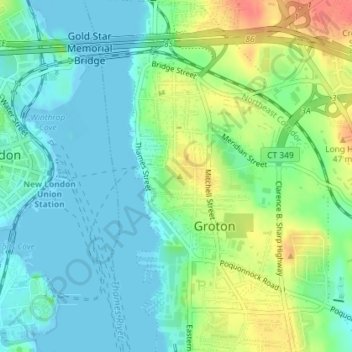
Name: Fort Griswold Battlefield State Park topographic map, elevation, terrain.
Average elevation: 62 ft
Minimum elevation: -10 ft
Maximum elevation: 187 ft