
Jarrow topographic map
Interactive map
Click on the map to display elevation.
About this map
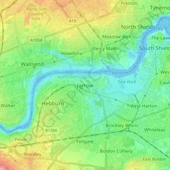
Name: Jarrow topographic map, elevation, terrain.
Average elevation: 105 ft
Minimum elevation: -13 ft
Maximum elevation: 344 ft
Other topographic maps
Click on a map to view its topography, its elevation and its terrain.
South Shields
United Kingdom > England > Tyne and Wear > South Tyneside
South Shields, South Tyneside, Tyne and Wear, North East, England, NE33 1NF, United Kingdom
Average elevation: 75 ft