
Rock House topographic map
Interactive map
Click on the map to display elevation.
About this map
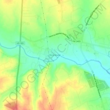
Name: Rock House topographic map, elevation, terrain.
Location: Rock House, Williamson County, Texas, United States (30.67999 -97.88277 30.71999 -97.84277)
Average elevation: 919 ft
Minimum elevation: 817 ft
Maximum elevation: 1,043 ft