
Ziegenort topographic map
Interactive map
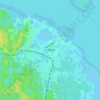
Click on the map to display elevation.
About this map
Name: Ziegenort topographic map, elevation, terrain.
Average elevation: 10 ft
Minimum elevation: -10 ft
Maximum elevation: 56 ft
Other topographic maps
Click on a map to view its topography, its elevation and its terrain.
Güstow
Polen > Woiwodschaft Westpommern > powiat policki
Güstow, gmina Kołbaskowo, powiat policki, Woiwodschaft Westpommern, 70-001, Polen
Average elevation: 43 ft