
Zenith topographic map
Interactive map
Click on the map to display elevation.
About this map
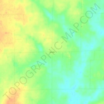
Name: Zenith topographic map, elevation, terrain.
Location: Zenith, Wayne County, Illinois, USA (38.52866 -88.64255 38.56866 -88.60255)
Average elevation: 482 ft
Minimum elevation: 427 ft
Maximum elevation: 541 ft