
Gebel el Uwaynat topographic map
Interactive map
Click on the map to display elevation.
About this map
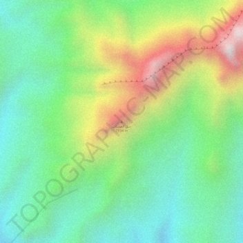
Name: Gebel el Uwaynat topographic map, elevation, terrain.
Location: Gebel el Uwaynat, Kufra, Libya (21.90362 24.97605 21.90372 24.97615)
Average elevation: 4,242 ft
Minimum elevation: 3,241 ft
Maximum elevation: 5,883 ft
Other topographic maps
Click on a map to view its topography, its elevation and its terrain.