
Falmouth Foreside topographic map
Interactive map
Click on the map to display elevation.
About this map
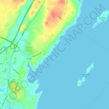
Name: Falmouth Foreside topographic map, elevation, terrain.
Location: Falmouth Foreside, Cumberland County, Maine, USA (43.70496 -70.24230 43.74859 -70.19735)
Average elevation: 36 ft
Minimum elevation: -3 ft
Maximum elevation: 177 ft