
Buxton topographic map
Interactive map
Click on the map to display elevation.
About this map
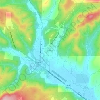
Name: Buxton topographic map, elevation, terrain.
Location: Buxton, Washington County, Oregon, 97125, United States (45.66877 -123.21093 45.70877 -123.17093)
Average elevation: 479 ft
Minimum elevation: 226 ft
Maximum elevation: 1,027 ft