
Municipio Roma II topographic map
Interactive map
Click on the map to display elevation.
About this map
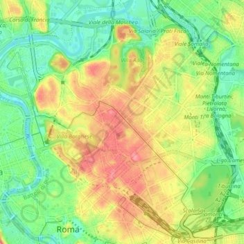
Name: Municipio Roma II topographic map, elevation, terrain.
Location: Municipio Roma II, Rome, RM, Lazio, Italy (41.89236 12.45952 41.94283 12.53359)
Average elevation: 141 ft
Minimum elevation: 23 ft
Maximum elevation: 282 ft
Other topographic maps
Click on a map to view its topography, its elevation and its terrain.