
Rusbend topographic map
Interactive map
Click on the map to display elevation.
About this map
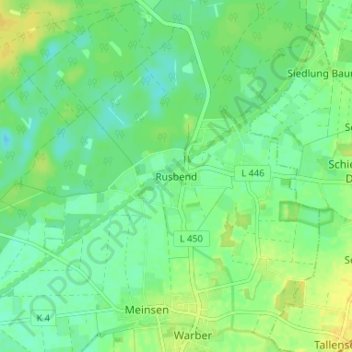
Name: Rusbend topographic map, elevation, terrain.
Location: Rusbend, Landkreis Schaumburg, Niedersachsen, 31675, Deutschland (52.29179 9.03759 52.33179 9.07759)
Average elevation: 177 ft
Minimum elevation: 144 ft
Maximum elevation: 223 ft