
Ternat topographic map
Interactive map
Click on the map to display elevation.
About this map
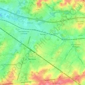
Name: Ternat topographic map, elevation, terrain.
Location: Ternat, Halle-Vilvoorde, Flemish Brabant, Flanders, Belgium (50.84070 4.10611 50.88969 4.20680)
Average elevation: 131 ft
Minimum elevation: 20 ft
Maximum elevation: 308 ft