
Huntington State Beach topographic map
Interactive map
Click on the map to display elevation.
About this map
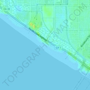
Name: Huntington State Beach topographic map, elevation, terrain.
Average elevation: 7 ft
Minimum elevation: -3 ft
Maximum elevation: 49 ft
Other topographic maps
Click on a map to view its topography, its elevation and its terrain.
Shipley Nature Center
USA > California > Huntington Beach
Shipley Nature Center, Rio Vista Drive, Huntington Beach, Orange County, California, 92647, USA
Average elevation: 33 ft