
Tilwara topographic map
Interactive map
Click on the map to display elevation.
About this map
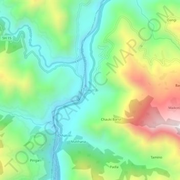
Name: Tilwara topographic map, elevation, terrain.
Location: Tilwara, Rudraprayag, Uttarakhand, India (30.32561 78.95660 30.36561 78.99660)
Average elevation: 3,307 ft
Minimum elevation: 2,247 ft
Maximum elevation: 5,400 ft