
Niedere Tauern topographic map
Interactive map
Click on the map to display elevation.
About this map
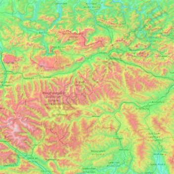
Name: Niedere Tauern topographic map, elevation, terrain.
Location: Niedere Tauern, Sölk, Gröbming, Liezen, Styria, Austria (47.06666 13.18210 47.57524 15.02143)
Average elevation: 3,960 ft
Minimum elevation: 1,161 ft
Maximum elevation: 10,633 ft