
Opoeteren topographic map
Interactive map
Click on the map to display elevation.
About this map
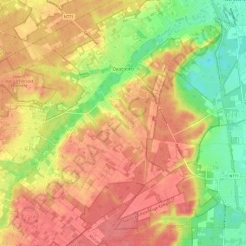
Name: Opoeteren topographic map, elevation, terrain.
Location: Opoeteren, Maaseik, Limburg, Belgium (51.01878 5.60732 51.08825 5.67772)
Average elevation: 220 ft
Minimum elevation: 92 ft
Maximum elevation: 302 ft