
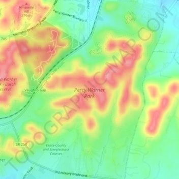
Percy Warner Park topographic map
Interactive map
Click on the map to display elevation.
About this map
Name: Percy Warner Park topographic map, elevation, terrain.
Average elevation: 725 ft
Minimum elevation: 558 ft
Maximum elevation: 922 ft
Other topographic maps
Click on a map to view its topography, its elevation and its terrain.
J Percy Priest Dam
USA > Tennessee > Nashville-Davidson
J Percy Priest Dam, Nashville-Davidson, Davidson County, Tennessee, 37076, USA
Average elevation: 499 ft