
Oering topographic map
Interactive map
Click on the map to display elevation.
About this map
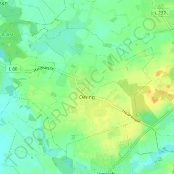
Name: Oering topographic map, elevation, terrain.
Location: Oering, Itzstedt, Segeberg, Sleeswijk-Holstein, Duitsland (53.81176 10.10833 53.84146 10.17485)
Average elevation: 108 ft
Minimum elevation: 75 ft
Maximum elevation: 154 ft