
Parícutin topographic map
Interactive map
Click on the map to display elevation.
About this map
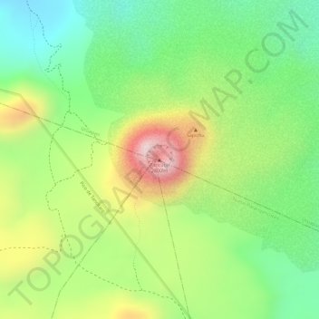
Name: Parícutin topographic map, elevation, terrain.
Location: Parícutin, Uruapan, Michoacán, Mexico (19.49312 -102.25137 19.49322 -102.25127)
Average elevation: 8,383 ft
Minimum elevation: 7,766 ft
Maximum elevation: 9,199 ft
Other topographic maps
Click on a map to view its topography, its elevation and its terrain.