
Golden Gate Canyon State Park topographic map
Interactive map
Click on the map to display elevation.
About this map
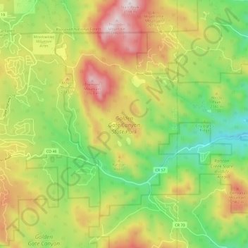
Name: Golden Gate Canyon State Park topographic map, elevation, terrain.
Average elevation: 8,947 ft
Minimum elevation: 7,753 ft
Maximum elevation: 10,469 ft