
Barendrecht topographic map
Interactive map
Click on the map to display elevation.
About this map
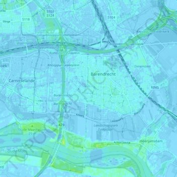
Name: Barendrecht topographic map, elevation, terrain.
Location: Barendrecht, South Holland, Netherlands (51.82985 4.47987 51.87403 4.57141)
Average elevation: 3 ft
Minimum elevation: -16 ft
Maximum elevation: 33 ft