
Lares topographic map
Interactive map
Click on the map to display elevation.
About this map
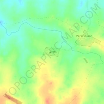
Name: Lares topographic map, elevation, terrain.
Location: Lares, Soriano, 70100, Uruguay (-33.83485 -57.80225 -33.83246 -57.79706)
Average elevation: 259 ft
Minimum elevation: 194 ft
Maximum elevation: 331 ft
Other topographic maps
Click on a map to view its topography, its elevation and its terrain.