
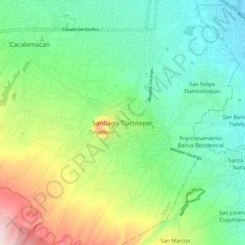
Santiago Tlacotepec topographic map
Interactive map
Click on the map to display elevation.
About this map
Name: Santiago Tlacotepec topographic map, elevation, terrain.
Location: Santiago Tlacotepec, Estado de México, 50240, México (19.18612 -99.71085 19.26612 -99.63085)
Average elevation: 9,186 ft
Minimum elevation: 8,691 ft
Maximum elevation: 10,299 ft