
Saint Joseph topographic map
Interactive map
Click on the map to display elevation.
About this map
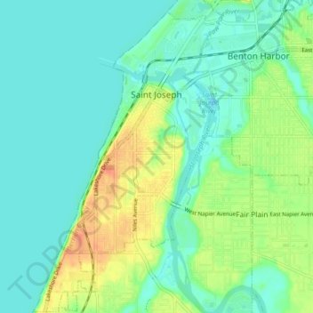
Name: Saint Joseph topographic map, elevation, terrain.
Location: Saint Joseph, Berrien County, Michigan, USA (42.06863 -86.51153 42.12712 -86.46453)
Average elevation: 604 ft
Minimum elevation: 564 ft
Maximum elevation: 692 ft